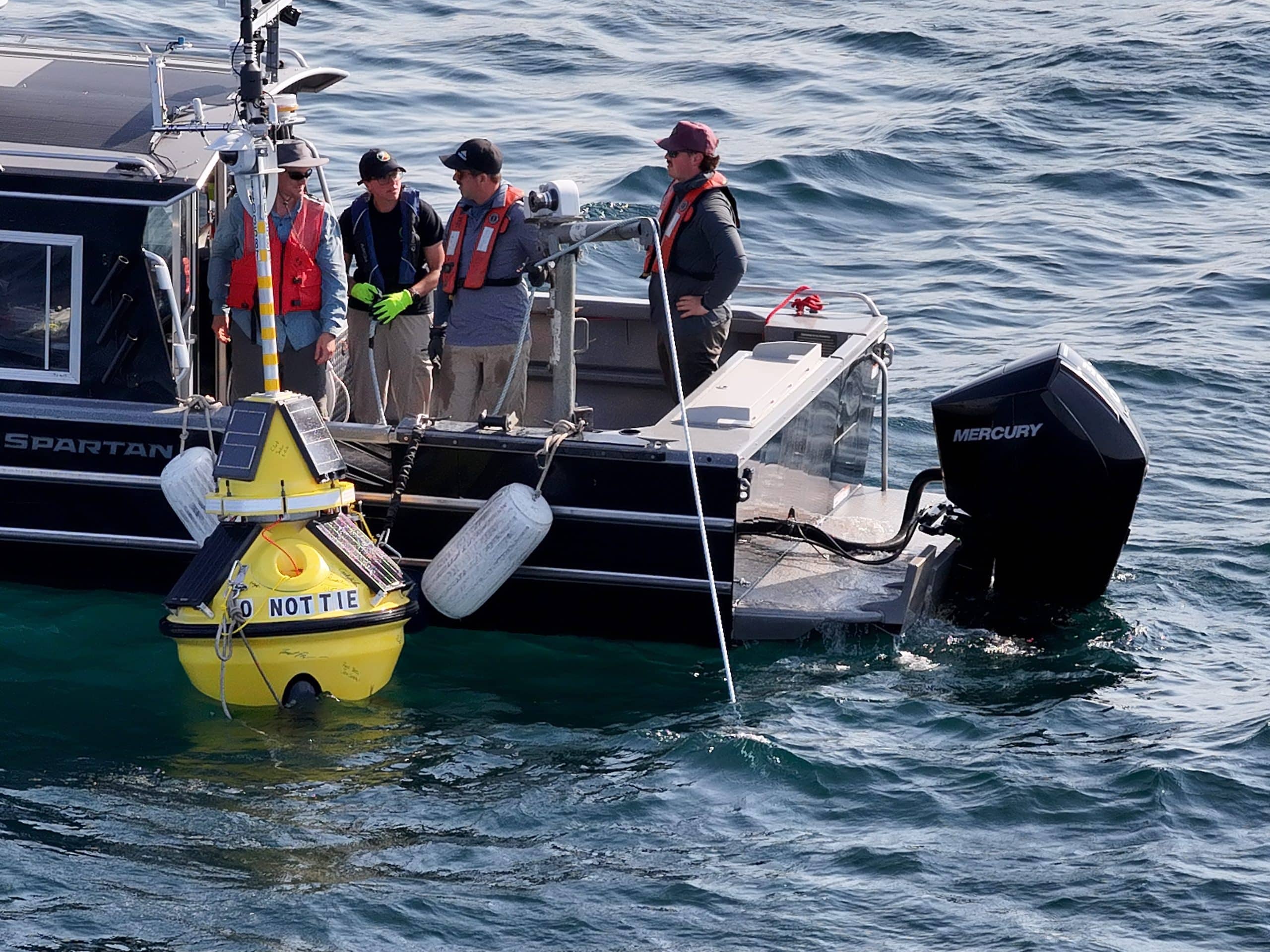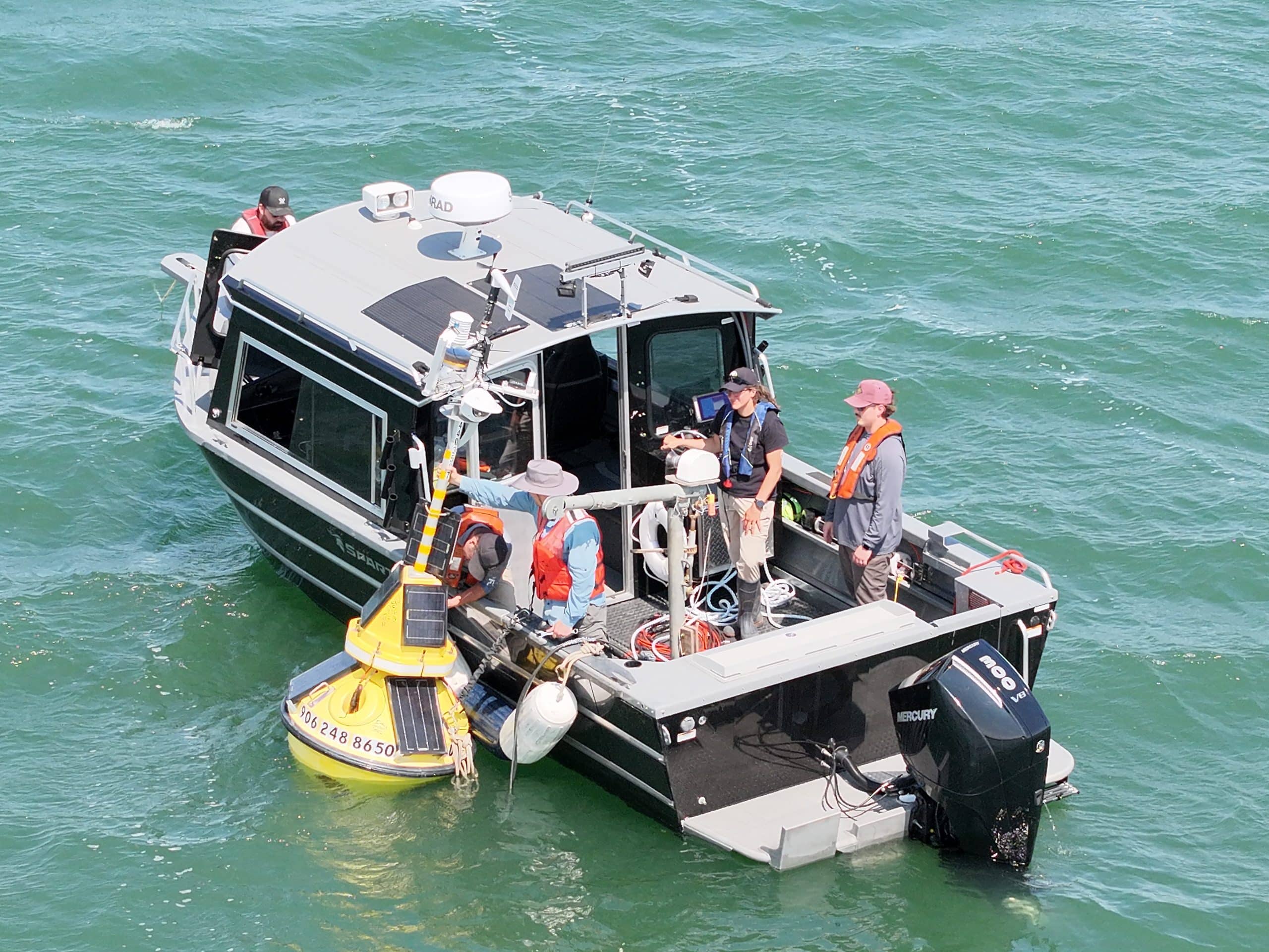

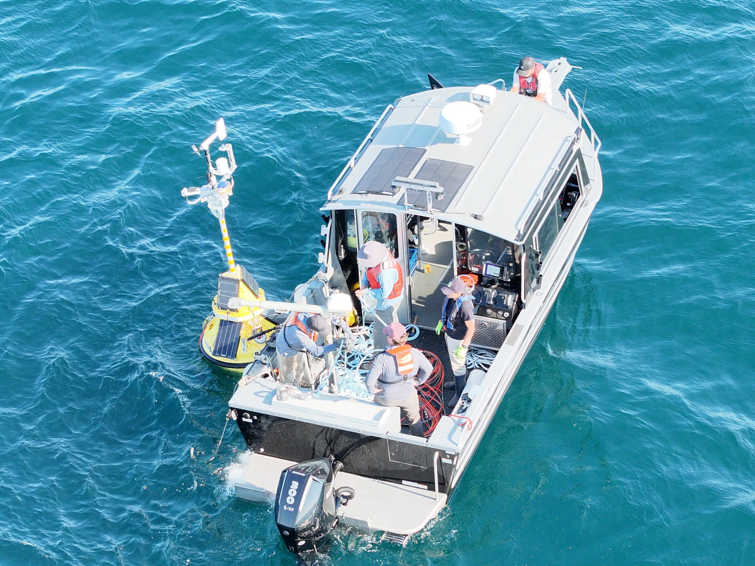
In August 2026, the Bay Mills Indian Community in partnership with LimnoTech and Freeboard Technologies anchored a one-of-a-kind real-time weather, wave, and water quality buoy in Whitefish Bay on Lake Superior. The buoy supports robust real-time monitoring of the eastern end of Lake Superior near local fisheries and a critical shipping lane to the Soo Locks. Situated in 220ft of water, the buoy monitors wind speeds, air temperature, water temperature down to the bottom, water currents, and a myriad of water quality parameters including oxygen, turbidity, and chlorophyll. A high-definition webcam is also mounted to the buoy to give boaters and others a look at conditions on “Gichi-Gami”. Funding for this Bay Mills Biological Services project was made possible through the Great Lakes Restoration Initiative.
The Bay Mills Indian Community is located twenty-five miles west of Sault Ste. Marie in Brimley, Michigan, within the boundaries of Chippewa County. Bay Mills people are Ojibwa or Chippewa who have lived for hundreds of years around Whitefish Bay, the falls of the St. Mary River, and the bluffs overlooking Tahquamenon Bay, all on Lake Superior, most of which still encompass their present-day homeland. The Bay Mills Indian Community was officially established by an Act of Congress on June 19, 1860. The tribe’s service area serves members on the reservation and living adjacent to it within Chippewa County. In 1966, Bay Mills became one of the four founding federal tribes that established the Inter-Tribal Council of Michigan, Inc.
You can access real-time data and webcam footage from the buoy by visiting https://data.freeboard.tech/station/4403587/ or texting “4403587” to 866-218-9973.